

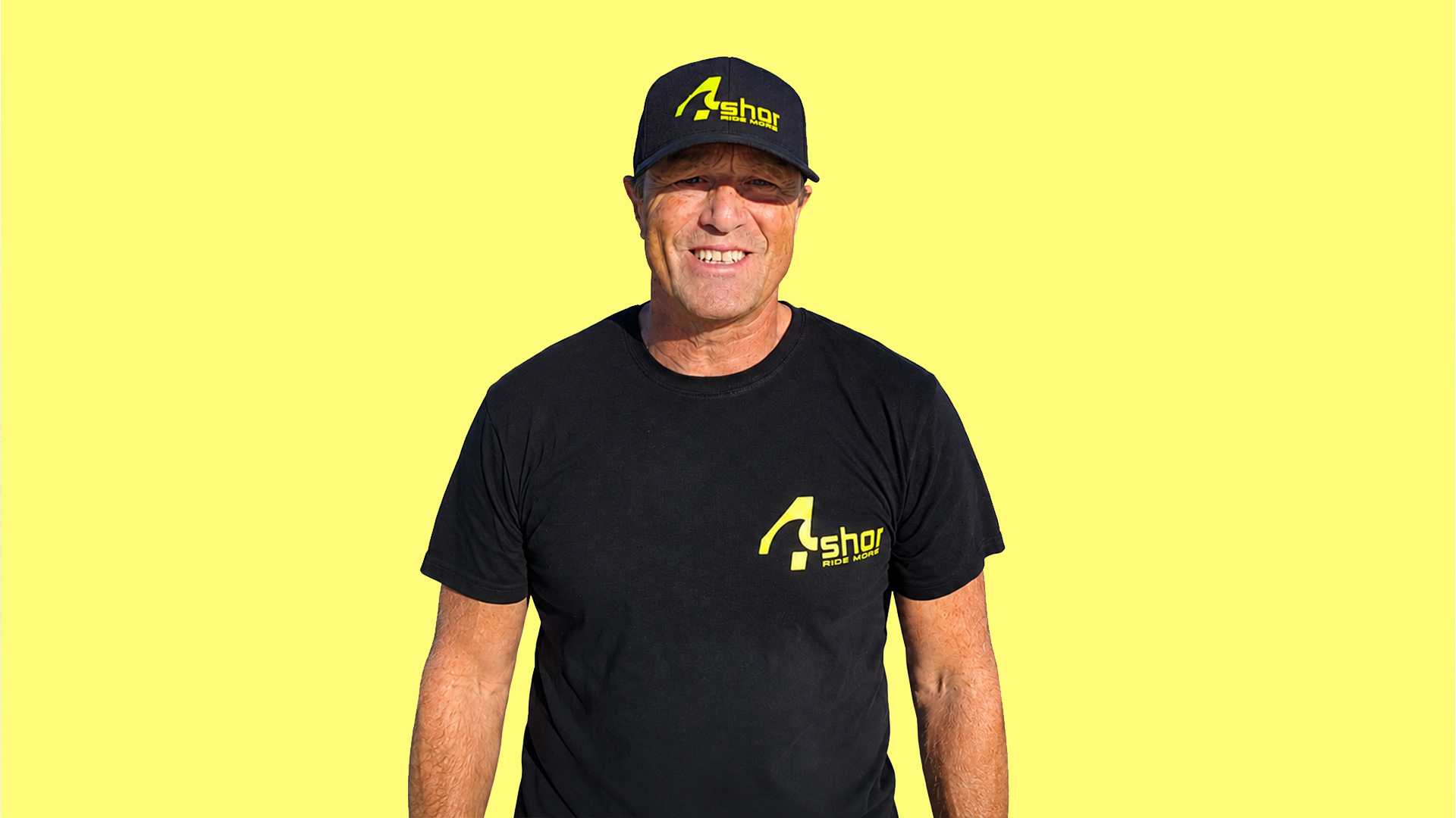
Richard Brittan has spent a lifetime chasing wind and waves, alongside more than two decades working with satellite data and geospatial intelligence. When he returned to Fuerteventura and found himself frustrated by the forecasts he was using to get on the water, those two worlds collided. The result is 4Shor, a new approach to watersports forecasting that aims to tell you not just what the weather is doing, but where and when you should actually go.
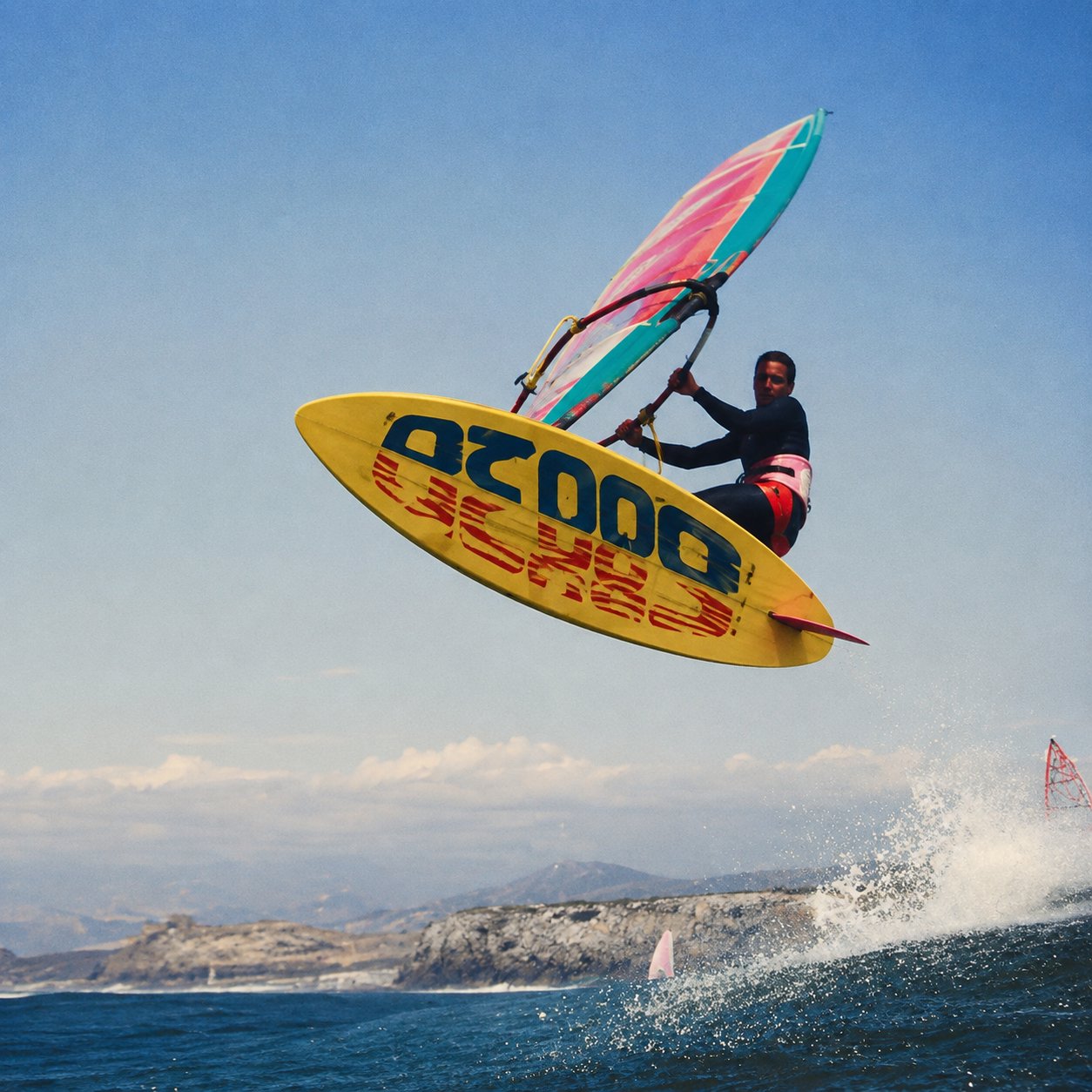
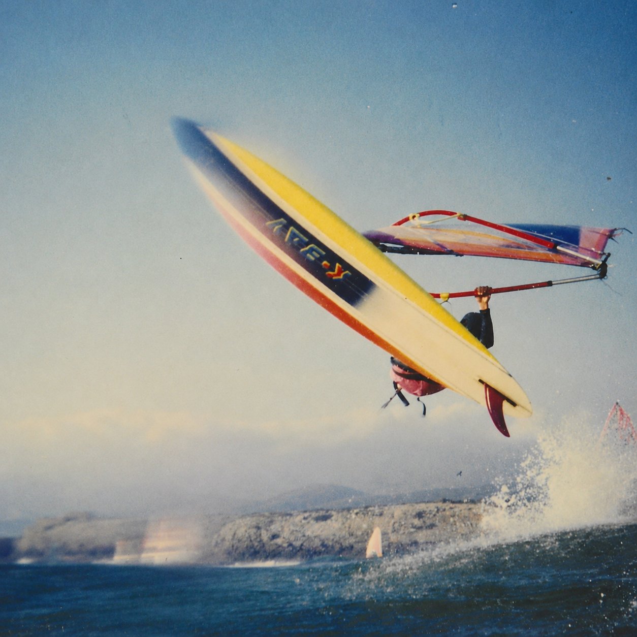
Richard Brittan’s relationship with watersports goes back a long way. Growing up in Qatar, he first stepped onto a windsurfer at around 12 years old, when the equipment consisted of a huge Dufour board, a wooden boom, a couple of sails and very little else. There were no harnesses, no footstraps and certainly no apps telling you whether it was going to be worth heading to the beach.
As the equipment evolved, so did Richard’s obsession. Windsurfing took him through university and across Europe, including memorable trips to Tarifa and Guincho, where a young Richard found himself sharing the water with some of the biggest names in the sport.
“I remember being out there with people like the Angulo brothers and Pete Cabrinha. You’d see the sail numbers, and you were just in awe.”
It was a rather different world from the one we inhabit today. Forecasting often involved looking at the weather map in the newspaper, driving towards the coast and watching trees, flags and whitecaps along the way.
Richard’s life subsequently took him in another direction. After university, rather than attempting to make a living from windsurfing, he joined the British Army. His career eventually led into the world of geospatial intelligence and satellite data, including work in Sierra Leone and Afghanistan.

While working in Sierra Leone around the turn of the millennium, Richard found himself behind rebel lines trying to plan a disarmament and rehabilitation programme with almost no useful geographical information. It planted the seed for what became a geospatial intelligence company specialising in using satellite-derived information to improve decision-making.
Over the following two decades, that business worked with organisations including the UK Foreign Office, US government, NGOs and international agencies, combining satellite imagery, environmental information and increasingly sophisticated data modelling.
Wind, precipitation, temperature and climate information were already part of that world. The challenge was taking enormous global datasets and making them genuinely useful at a local level.
Fast forward to three years ago and Richard finally returned to the lifestyle he had been trying to get back to for much of his working life, moving with his wife to the north shore of Fuerteventura.
There was just one problem. He couldn’t work out when to go surfing.
Despite being surrounded by some of Europe’s best waves and wind, Richard regularly found the conditions at the beach bore little resemblance to what he had expected from the forecasting apps.
Rather than simply complaining about it, he began testing them.
“I sat routinely on the west coast at El Cotillo and observed the conditions against all of the forecast apps. I’d look at what they were forecasting for that time, then go and ground truth it. The difference between what I was observing and what some of the forecasts were generating was staggering.”
He also started talking to other watersports users. Surfers told him they were using wind apps. Windsurf instructors told him they had largely stopped relying on forecasting apps altogether. For someone whose professional life had revolved around turning huge datasets into useful local information, it presented an intriguing problem.
When Richard took the idea to his technical team, he discovered they had already been thinking along similar lines. The fundamental question became: rather than simply taking offshore weather and swell models and displaying that information at ever-increasing resolutions, could they begin at the coastline itself?
That thinking ultimately became 4Shor.
At the heart of the system is bathymetry: essentially a map of the terrain beneath the water. Reefs, sandbanks, channels and changes in depth all influence what happens to swell as it reaches the coastline, yet the shallowest few metres are traditionally some of the most difficult areas to map accurately.
The 4Shor team used more than 30,000 satellite images to develop its own high-resolution bathymetric model of the European coastline. That seabed data can then be combined with incoming swell, wind and tide information to model what is likely to happen at an individual location rather than simply presenting an offshore forecast.
That is where things become particularly interesting for kiteboarders.
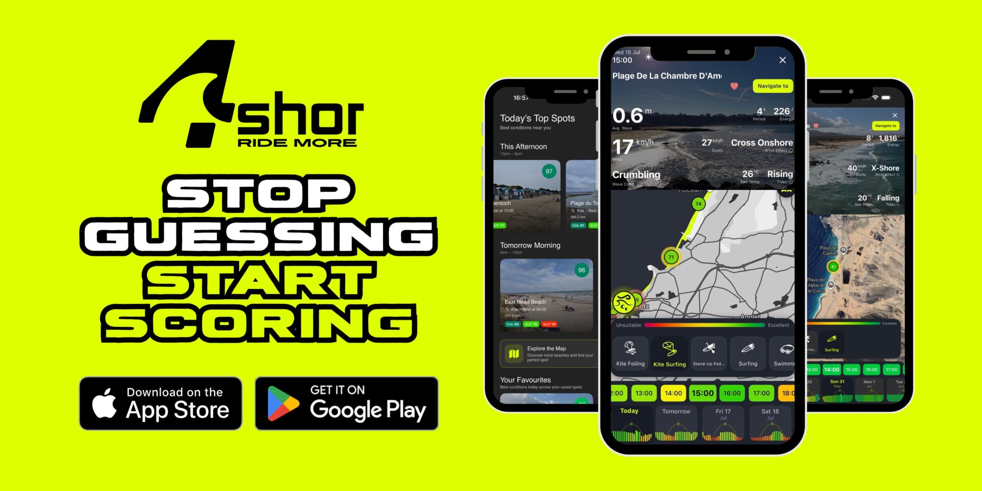
4Shor currently models more than 2,500 European locations and supports ten different watersports, including kitesurfing, kite foiling, wing foiling, windsurfing and surfing. Rather than expecting riders to interpret rows of wind, wave and tide data themselves, it produces a simple score from 0–100 according to both the sport and the rider’s ability.
The distinction matters. Twenty-five knots and a sizeable swell might represent an outstanding day for an experienced kiteboarder while being completely unsuitable for someone learning to paddleboard. Likewise, cross-offshore wind can potentially deliver exceptional wave-riding conditions for an expert kitesurfer while being something 4Shor deliberately scores down for less experienced riders because of the additional risk.
For Richard, however, the technology is really about something much simpler: time.
Most of us no longer restrict ourselves to one watersport. We might kite when it is windy, surf when there are waves, foil when conditions allow and paddle or swim when the ocean goes flat. Combine that with work, families and everything else life throws at you, and choosing the right few hours to disappear to the beach becomes increasingly important.
Richard remembers discussing exactly that with Tom Court during a recent visit to Fuerteventura.
“He described forecasting as a game. If you arrive at the right place at the right time and it is absolutely going off, you’ve already won before you even get into the water. That really stuck with me. If we can help people win before they get on the water, then we’ve done what we set out to do.”
That is perhaps the most interesting element of 4Shor. A huge amount of technology operates behind the scenes; Richard says the system currently generates around 45 million data points every 24 hours, but the intention is that the person holding the phone doesn’t need to understand any of it.
Instead, they should be able to open an app and ask a much more useful question: where should I go?
Users can select their sports and ability levels, look ahead up to eight days and set alerts based on the conditions they want and how far they are prepared to travel. The platform currently covers Europe, with the team intending to expand both the number of locations and its geographic reach.
There are plenty of us who actually enjoy poring over different weather models, checking webcams and applying years of accumulated local knowledge before choosing a beach. I’m definitely guilty of that. Since moving to Pembrokeshire, I’ve spent an embarrassing number of hours driving around the coastline figuring out which combinations of swell, tide and wind make particular spots work.
But not everybody has the time, or inclination, to do that.
4Shor is an attempt to package some of that knowledge and decision-making into something considerably more straightforward. It doesn’t pretend that weather forecasting can ever become an absolute certainty; even 4Shor describes its scores as probabilities rather than promises.
What makes the project interesting is where it has come from. Richard isn’t a software entrepreneur who decided watersports looked like an attractive market. He is a lifelong windsurfer and surfer who spent more than two decades using satellite information to solve complex real-world problems, then found himself back at the beach wondering why his forecast was wrong.
In some ways, 4Shor is simply the result of him applying the skills of one part of his life to the passion that has run through all of it.
And if it means fewer wasted drives to the beach and a few more sessions where you arrive to find it absolutely firing, that sounds like a pretty worthwhile objective to us.
Listen to the full conversation with Richard Brittan on The Kite Pod, and find out more about 4Shor at 4shor.app. The 4Shor app is available for iOS and Android.